Transformed Land
Planning a drone's flight path so the stitched result is an impossible landscape
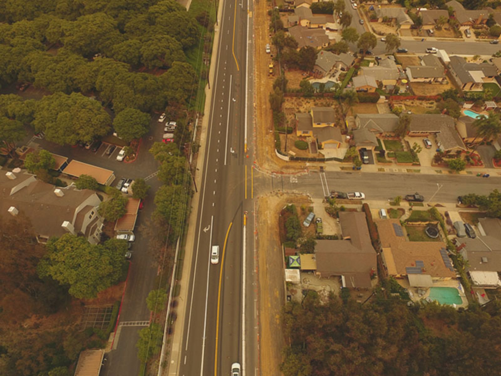
Drone photography got popular fast, but getting a good photograph out of a drone still takes both taste and stick skills. Inspired by Aydın Büyüktaş’s Flatland — aerial images folded so the ground curls up into a wall — this project asks whether the whole thing can be automated: name the transformation you want, and the system works out how to fly for it.
The pipeline covers all three phases. Pre-production: given a target transformation, a trajectory planner generates the camera path needed to capture it. Production: the drone flies that path and takes the frames on its own. Post-production: a stitching algorithm assembles the frames into the intended distortion of the landscape.
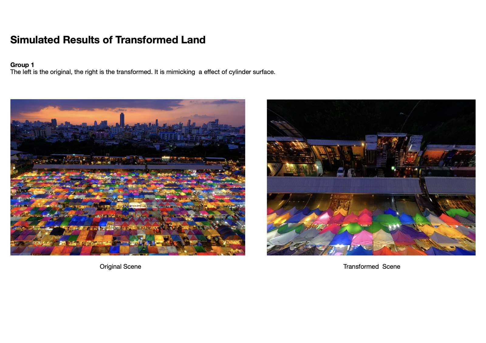
The simulations covered three transformations: a cylinder surface, a “road to heaven” fold where the ground rises to meet the horizon, and a sine wave that makes flat land undulate.
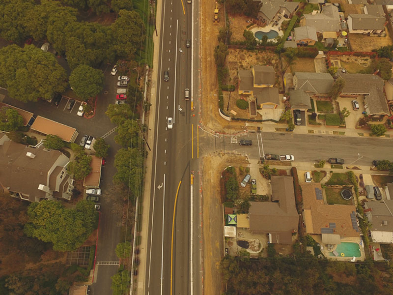
Equipment for the field tests was a DJI Mavic Pro and a Phantom 4. The project was set up as summer guided research, scoped so two students could take it on — one on the robotics side, studying the controller and trajectory planning; one on the imaging side, on pattern recognition and stitching — with simulation tools in between so both halves could be tested before anything left the ground.